
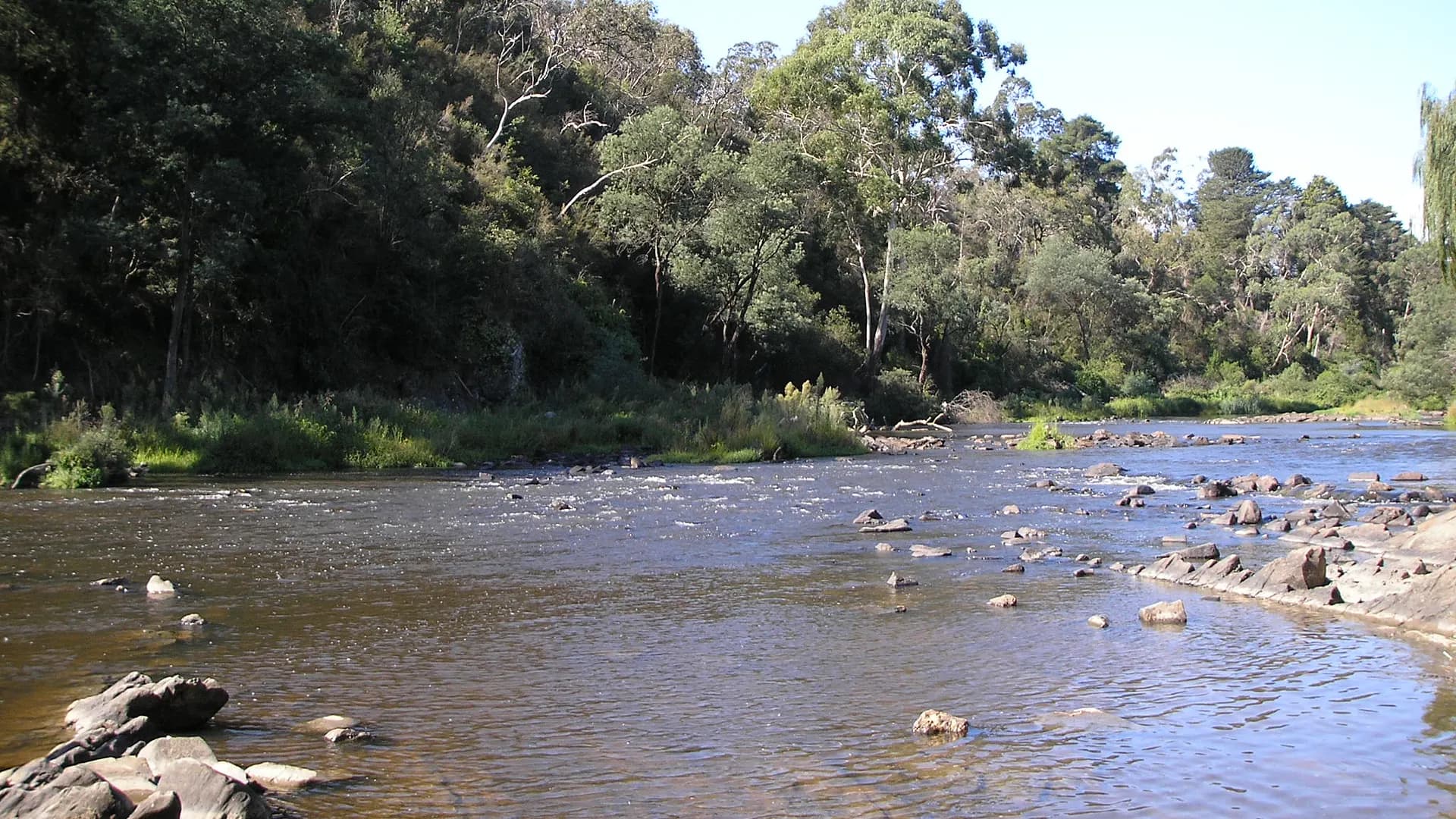
What walks and reserves are around Warrandyte? Directly: Warrandyte State Park is the spine — river-flat picnic reserves, dry-hill gold country, and longer circuits toward Mount Lofty — with the township and the bridge sitting in the middle of that landscape.
This page collects orientation. Distances and facility lists are those Parks Victoria already publishes. If a track is rerouted, a shelter is closed, or a deer-control night closure is in force, their change-of-conditions note beats this sentence.
The park you are actually in
Parks Victoria describes the park as a significant remnant of indigenous flora and fauna in Melbourne’s north-east: riparian forest and woodland along the river, dry foothill woodland on the hills. Red box, red stringybark and long-leaf box dominate hilltops; large manna gums line the Yarra. Spring wildflowers and wattles are the seasonal show Parks Victoria highlights; summer is the season of full car parks and fire risk.
The park is part of Wurundjeri Woi-wurrung Country. Stay on formed trails. Cultural sites and natural features are protected.
Access roads Parks Victoria names: Heidelberg–Warrandyte Road, Research–Warrandyte Road, Ringwood–Warrandyte Road. There is no single “front gate” to the whole park — you arrive at a named reserve.
Pound Bend
Pound Bend Reserve is the textbook first stop: picnic tables, toilets, canoe launch, manna gums, and the Evelyn Tunnel as a gold-era river diversion. Parks Victoria lists the Pound Bend River Walk at 2.4 km, about 1 hour return, starting from the northern end of the picnic area, upstream through riparian forest, opening to grassland where eastern grey kangaroos are often seen, then returning the same way.
Park gates are published as opening at 7 am and closing at 8 pm on that site page — confirm, because hours are an official setting, not a vibe. The reserve closes on severe weather warning days and on days of extreme fire danger and above. Dogs are not allowed. Solid-fuel barbecues are not permitted. Limited parking is a documented problem; if it is full, go to your backup site instead of parking on access roads.
Jumping Creek
Jumping Creek Reserve is the other major river picnic node: tables, a shelter (check current closure notices — Parks Victoria has flagged shelter works), toilets, canoe launch. The Blue Tongue Bend / Jumping Creek Nature Trail is published as 3.5 km, about 2 hours return, weaving along the river corridor from rocky cliffs to riparian forest to a wide bend of the Yarra.
Dogs are not allowed. Camping and fires are not permitted. The reserve closes on severe weather warning days and extreme fire danger and above. If your whole plan was “river walk with the dog”, this is the wrong pin — read Are dogs allowed in Jumping Creek Reserve? and use the on-lead reserves Parks Victoria names instead.
Fourth Hill, Gold Memorial and Whipstick Gully
Fourth Hill — Gold Memorial marks the official site of Victoria’s first gold discovery in 1851 on Andersons Creek. Prospecting is tightly specified there (Miner’s Right, creek-bed only between markers, hand tools, backfill). Dogs, camping and fires are not permitted at that visitor site. Horse riding is on bridle trails only; mountain bikes on Management Vehicle tracks only.
The Fourth Hill Gold Heritage Circuit is published as 1.5 km, about 1.5 hours circuit — a short distance that Parks Victoria still times generously because you are walking heritage ground, not a boardwalk. Whipstick Gully holds further mining remnants (including Victory mine) and is also a site Parks Victoria discusses for organised rock climbing/abseiling with a (no-fee) permit. Dogs and fires are not permitted.
Mount Lofty and the wider belt
If you want a climb, Parks Victoria’s Mount Lofty Circuit Walk is 4.7 km, about 2.5 hours circuit, starting at Wittons Reserve in Wonga Park, following the river corridor then rising to the highest point in the state park. It is a different day to a Pound Bend stroll: water, heat and fitness matter. Views over the river, Yarra Valley and Dandenong–Yarra Ranges are the advertised payoff — still not a reason to ignore a Catastrophic rating.
Other named places in the same landscape — Black Flat, Taroona, Norman, Koornong, The Common — appear on Parks Victoria maps with unequal dog and horse rules. Do not assume the rule you used at Taroona applies at Pound Bend.
Walking well in this vegetation
- Carry water. Dry foothill woodland does not care that you can see houses on a ridge.
- Expect snakes in warm months; keep to tracks, do not put hands in logs, and read Are there snakes in Warrandyte?.
- Fallen limbs are a published hazard on several site pages.
- Take rubbish home. Feeding wildlife is an offence as Parks Victoria states it.
- Check VicEmergency and CFA before you commit to a ridgeline.
Mountain bikes, horses and walkers are separated for a reason: erosion and cultural sensitivity. Informal “shortcuts” down to the river are how banks fail.
For picnic tables rather than kilometres, go to best picnic spots. For gold story rather than track notes, go to history.