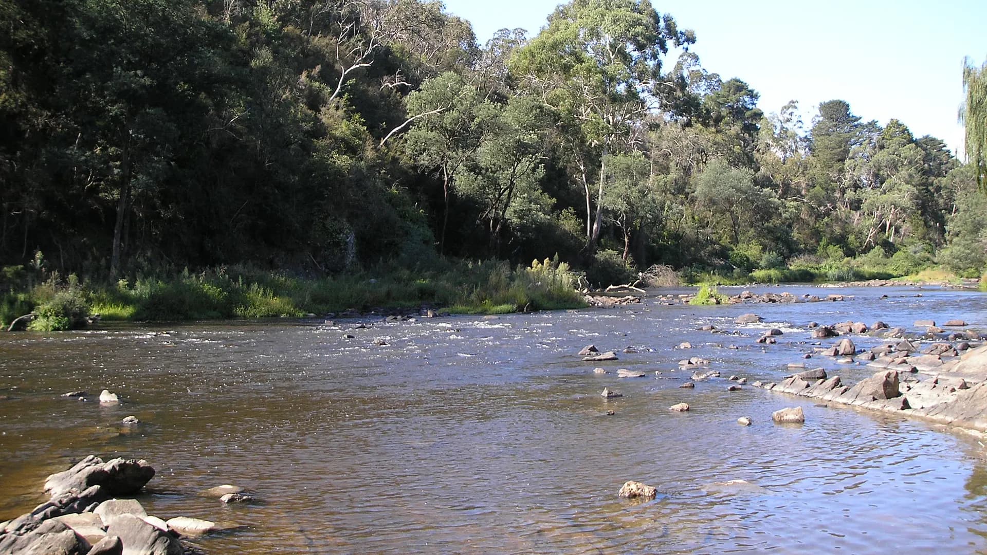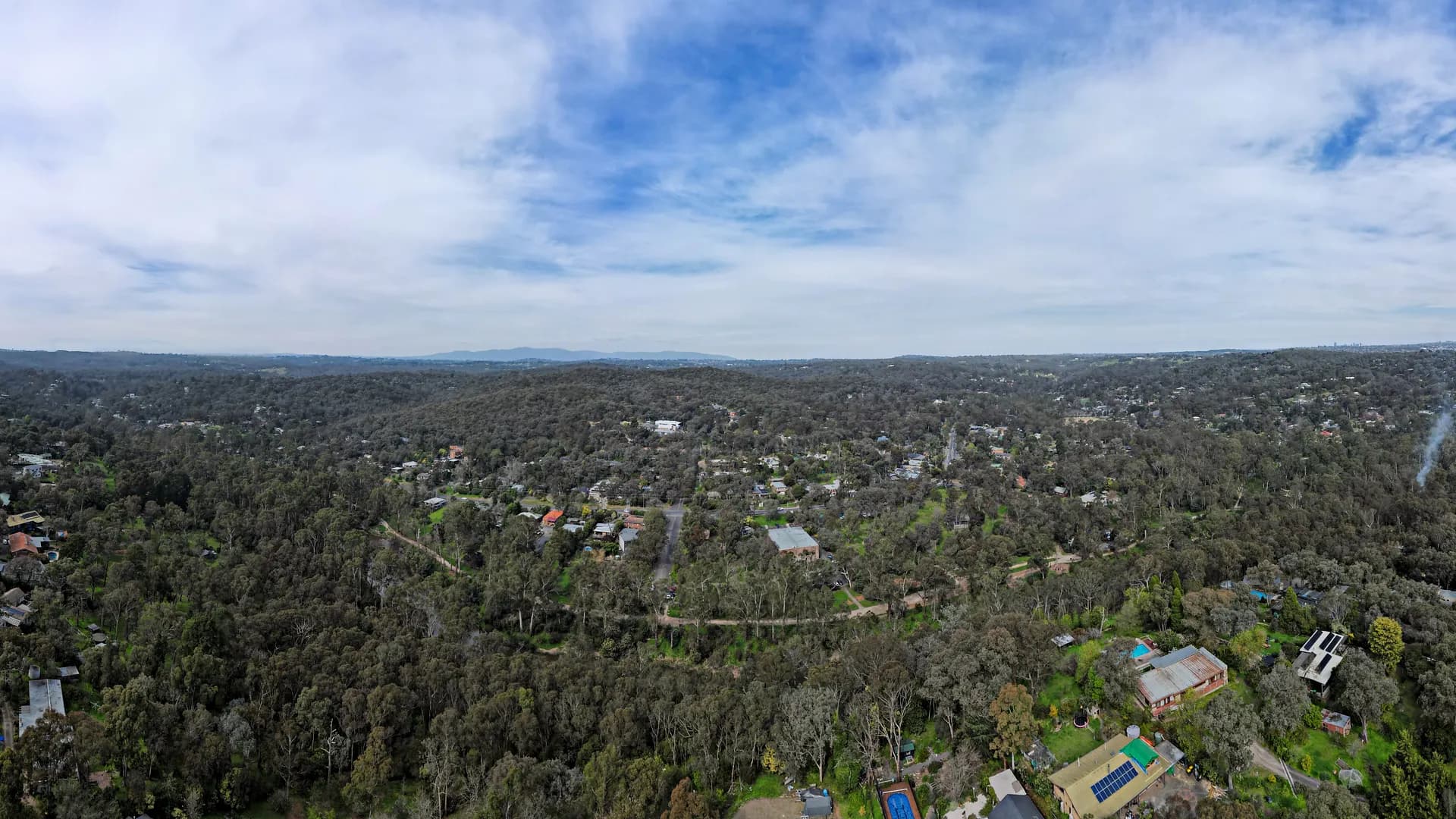
Warrandyte sits where Melbourne’s north-east suburbs give way to the Yarra (Birrarung) and a belt of dry foothill woodland. Parks Victoria describes Warrandyte State Park as the closest state park to the city — roughly 24 kilometres from the CBD — which is why a weekday picnic or a weekend walk can feel like a country day without a regional-highway expedition.
This site is a rewritten local guide. It is not Manningham City Council, Nillumbik Shire Council, Parks Victoria, Visit Victoria, or a ticket desk. Treat every practical detail — fire danger, park gates, dog rules, bus times, business hours — as something you confirm on the official page that owns it.
Country, river and township
The park and township occupy the traditional Country of the Wurundjeri Woi-wurrung people. Parks Victoria notes a deep, continuing connection to these lands and waters, including the confluence of Brushy Creek and the Yarra near Mount Lofty, associated with the birthplace of William Barak. Contemporary Wurundjeri people remain custodians of this cultural landscape. Visitors should stay on formed trails, leave artefacts where they lie, and treat river flats as living Country rather than a backdrop.
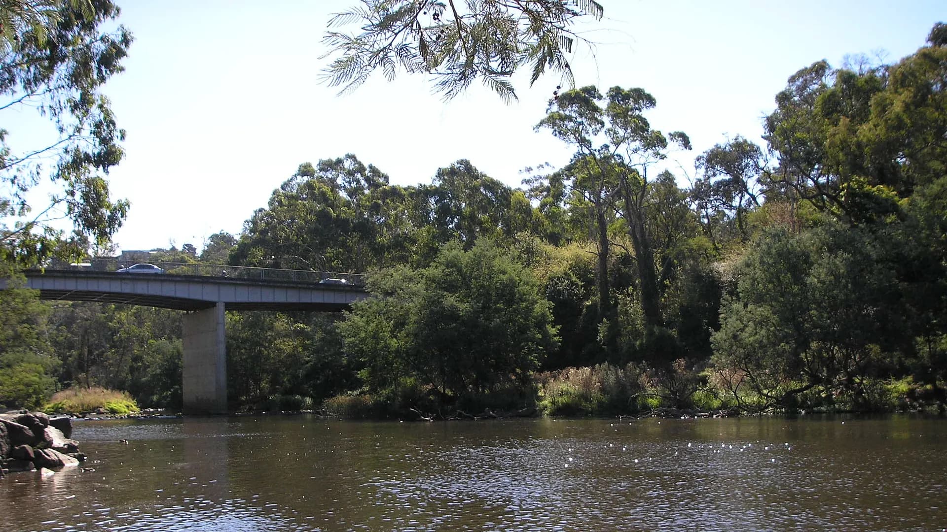
South of the bridge you are in the City of Manningham; North Warrandyte, across the river, is in Nillumbik. That split matters for dogs, local laws, parking signs and whose “what’s on” listing you should trust. If a community screening, market or festival is advertised, follow the council or organiser that published it — this guide does not invent a calendar.
How far, and how you actually get there
By car. Allow a variable drive from the CBD: traffic on the Eastern Freeway and arterial roads into Warrandyte can stretch a short map distance into a longer trip. Approach roads named by Parks Victoria include Heidelberg–Warrandyte Road, Research–Warrandyte Road and Ringwood–Warrandyte Road. Pound Bend in particular has limited parking; Parks Victoria’s advice is blunt — if the car park is full, the park is too, and illegal parking that blocks emergency access is not a workaround.
By public transport. There is no train station in Warrandyte. PTV timetables are the source of truth. A commonly used option is SmartBus route 906 (City – Warrandyte). Other buses connect toward Ringwood and Eltham (including routes that appear in PTV journey planners as 364, 578 and 579). Frequencies change by time of day and school holidays; this page does not quote minutes or fares. Use PTV or a current journey planner.
On the water. Canoe and kayak access into Warrandyte Gorge is described by Parks Victoria at sites including Mount Lofty, Jumping Creek, Pound Bend and Norman Reserve. Rapid grade varies with section and water level. The river is not a swimming-pool: submerged snags, cold water and current are ordinary hazards.
What a Warrandyte day is for
Most visits combine three layers:
- The park — manna gums on the river, red box on the hills, walks from an easy Pound Bend river stroll to steeper circuits such as Mount Lofty from Wittons Reserve.
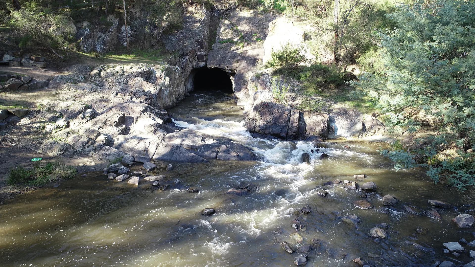
- The gold landscape — Andersons Creek’s gold memorial (Victoria’s first official gold discovery is marked here for 1851), Fourth Hill relics, and the Evelyn Tunnel at Pound Bend, completed in 1870 to divert the river.
- The village — a compact commercial strip around Yarra Street and the bridge, with independent food, galleries and everyday services. This guide does not rank cafes or republish a 2006 phone-book of traders.
If you only have a few hours, the honest pattern is: check VicEmergency and the Parks Victoria park page, pick one reserve with toilets, walk a signed track, then wander the village. If you have a full day, add a second reserve rather than trying to “do” every named hill.
Bushfire, heat and closures
Warrandyte is a bush-interface township. Parks Victoria closes visitor sites on Extreme and Catastrophic fire danger days (and some reserves also close on severe weather warning days). Pound Bend is called out as a small site with limited parking and high fire risk in summer. Solid-fuel barbecues are not permitted in the state park. Camping and fires are not a casual add-on.
For warnings, the official stack is:
- VicEmergency and the VicEmergency app, or the hotline 1800 226 226
- CFA for fire danger ratings, Total Fire Ban rules and household planning
- Parks Victoria’s Warrandyte State Park page for gate and track notices
- Manningham Council for municipal advice on the south side of the river
This site does not invent fire statistics, evacuation maps or “safe” days. If a rating is high, change the plan.
Wildlife you should expect, not sensationalise
Parks Victoria lists eastern grey kangaroos, swamp wallabies, echidnas, wombats, possums, sugar gliders and platypus among park wildlife, and notes that more than 120 bird species have been recorded, including the Powerful Owl. Snakes occur in the park. Parks Victoria’s instruction is to keep your distance; plants and animals, including snakes, are protected. Read our snake guide and Better Health Channel’s bite advice rather than copying folklore.
Dogs are not a default “yes” in the state park. Parks Victoria permits dogs on-lead only at Norman, Taroona and Koornong Reserves. Jumping Creek and Pound Bend are no-dog sites. Assistance dogs are handled under Parks Victoria’s published rules. Details: Are dogs allowed in Jumping Creek Reserve?
How this guide works
Category pages exist as guidance hubs — how to think about accommodation, trades, celebrants, emergency services — not as a resurrected Yellow Pages. We do not invent operators, prices, opening hours, awards or quotations. If a sentence here and an official park, fire or council page disagree, the official page wins.
Use the things to do hub for a day structure, walks and reserves for trail context, history for gold-country orientation, and business if you are trying to find or describe a local service. If you need to reach the editor, including a question about listing a business, that lives on contact.